Vallehermoso brings together some of the most characteristic protected landscapes of northern La Gomera. The municipality concentrates natural monuments that showcase the geological power of the island and its great variety of ecosystems.
Roque Cano
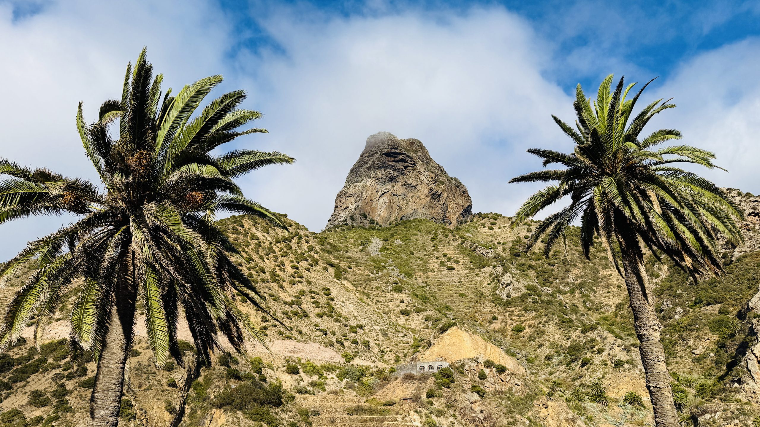
The first landmark to greet visitors is Roque Cano, an impressive volcanic needle rising above the town center that serves as the valleys symbol. Its presence dominates the panorama and marks the transition between traditional agricultural areas and the slopes ascending toward the peaks.
Los Órganos Natural Monument
En la costa norte, el Los Órganos Natural Monument ofrece una de las imágenes más singulares del archipiélago: un acantilado de columnas basálticas que caen de forma vertical al océano, visible únicamente desde el mar. Su geometría, resultado de la solidificación del magma y la erosión constante del Atlántico, convierte este rincón en un espacio de gran interés geológico y paisajístico. Es uno de los puntos más fotografiados de toda La Gomera y un emblema del litoral de Vallehermoso.
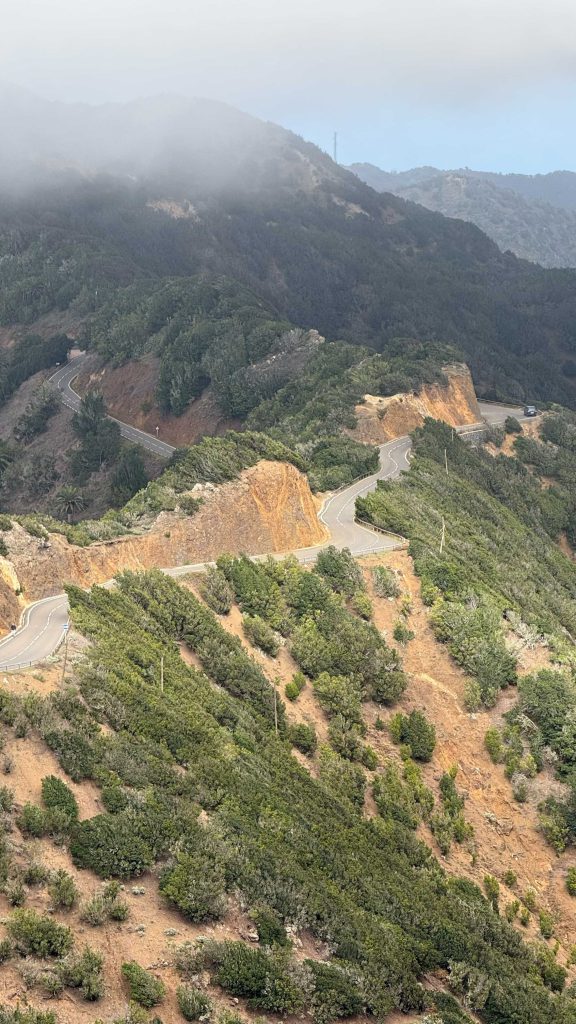
Roque Blanco and Lomo del Carretón
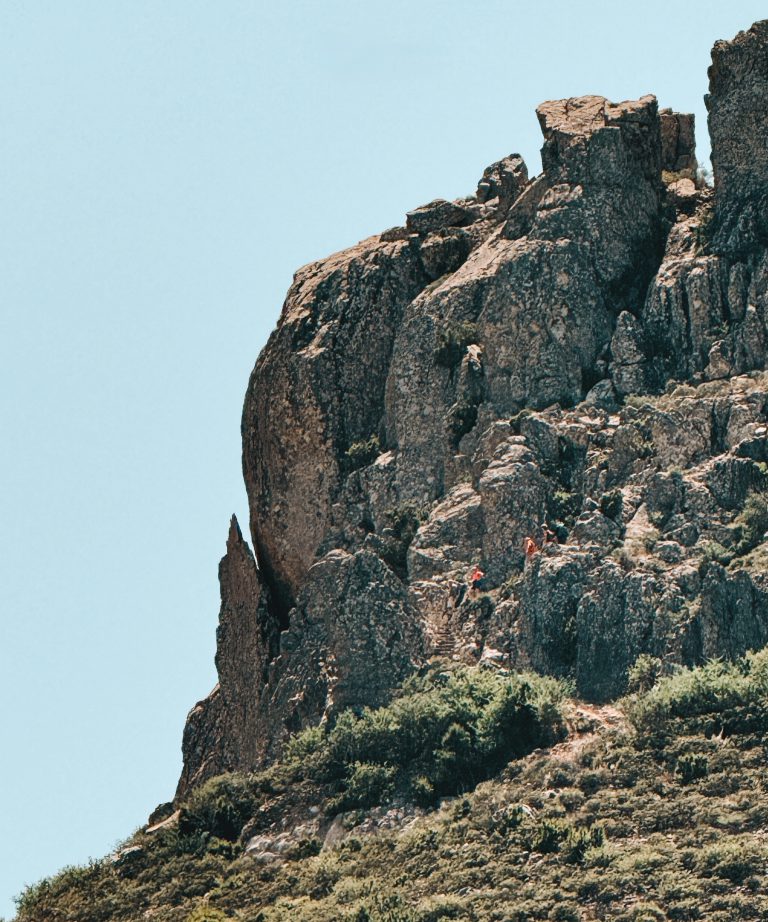
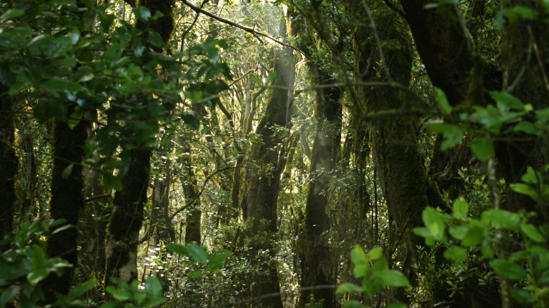
Toward the interior of the municipality, Roque Blanco Natural Monument preserves one of the wettest and oldest areas of northern La Gomera, with narrow ravines, vegetation-covered walls, and volcanic formations surrounded by monteverde forest. Further south, Lomo del Carretón Natural Monument stands out for its steep slopes and narrow ridges, a rugged landscape where ancient lava flows, small groves, and open areas with wide views alternate toward different sides of the municipality.
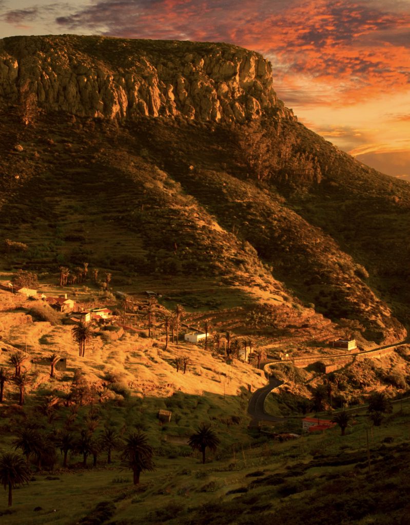
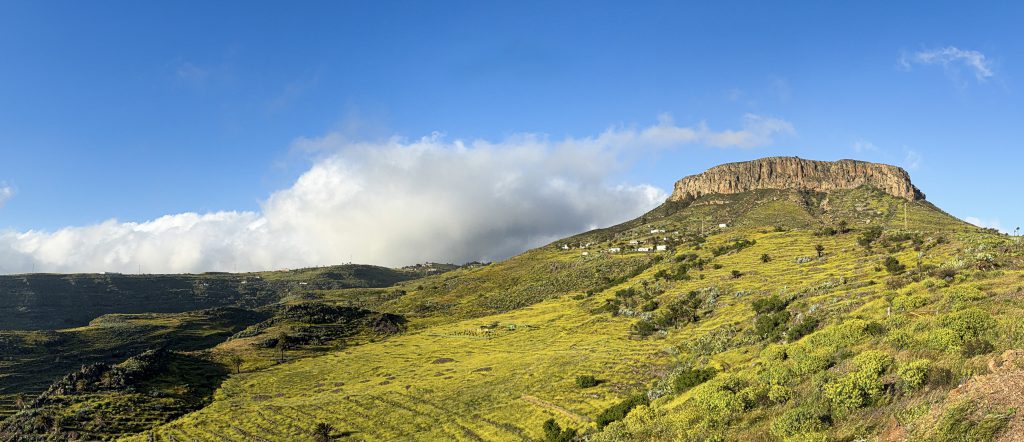
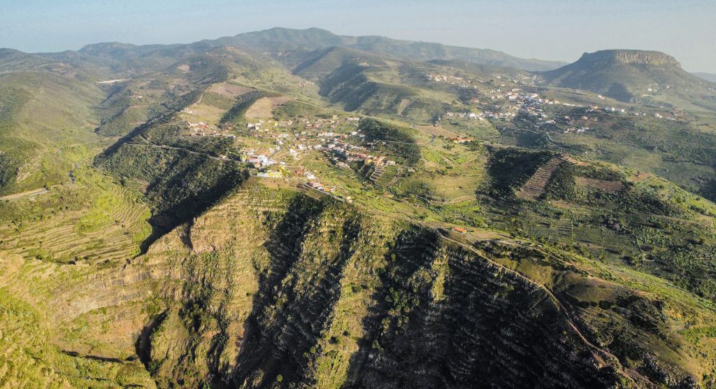
La Fortaleza de Chipude
The volcanic plateau of La Fortaleza de Chipude, easily recognizable by its horizontal profile, completes this set of protected areas. It is one of the most important sites on the island due to its archaeological value and its role in the indigenous history of La Gomera. Its access trails and the view from the summit allow understanding the relationship between geology and human occupation, while offering one of the broadest panoramas of the island from the upper zone of Vallehermoso.
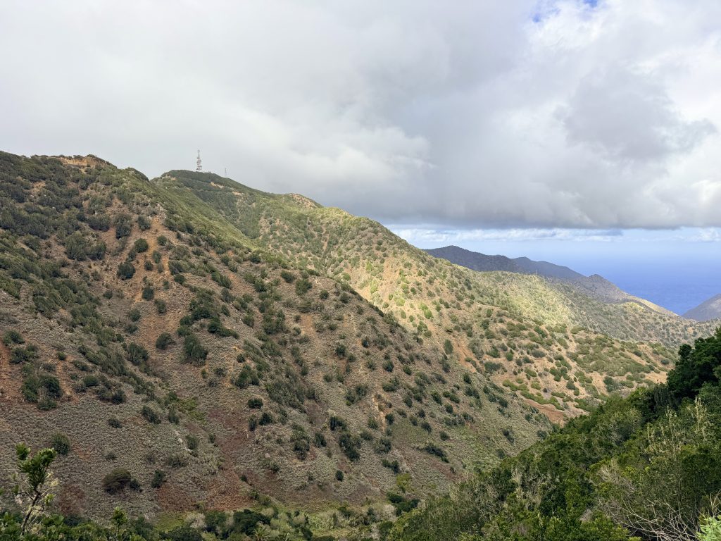
Botanical Areas
Within the municipality there are also places of great botanical and scenic interest. El Sabinar stands out for the presence of Canarian junipers on open northern slopes, adding a unique character to the environment. In the Garabato area, Pinar de Garabato represents one of the few Canarian pine forests on the island, associated with mid-altitude zones and characterized by its ecological and scenic value.
Ethnographic Heritage
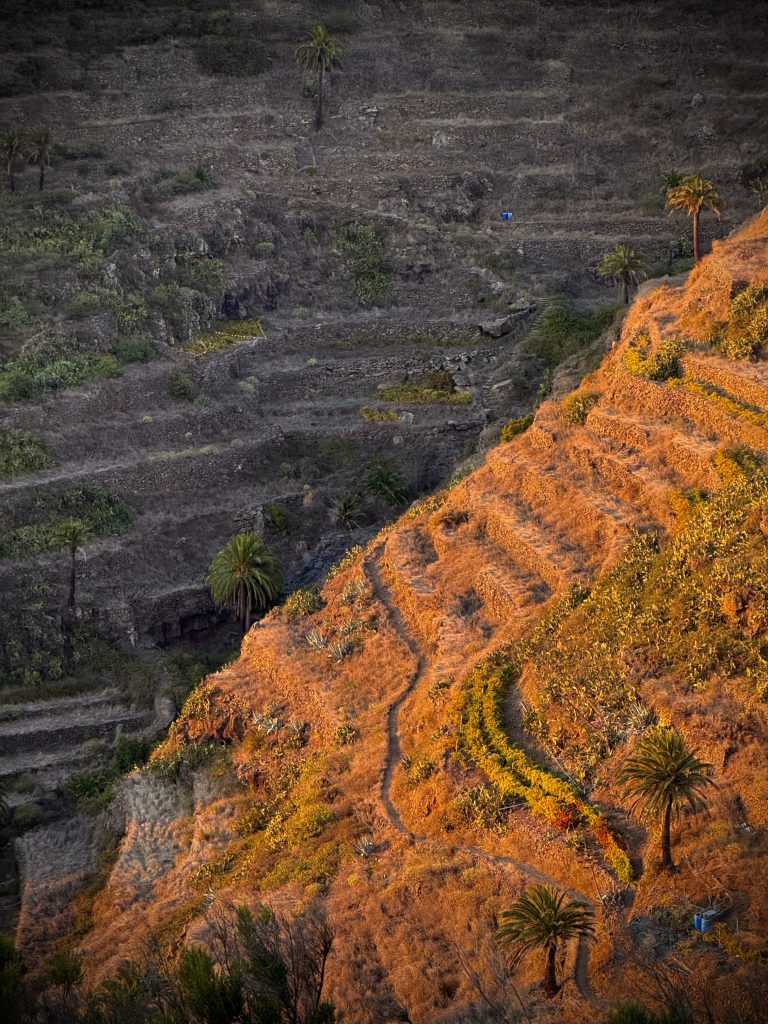
The network of ethnographic elements adds to the natural value of the municipality. The Lagar de Macayo, located near the town of Vallehermoso, is testimony to the local winemaking tradition and the historical link between agricultural landscape and rural life. For their part, the Lavaderos de La Vica, located in Temocodá—in the Chipude area—constitute a restored example of traditional hydraulic architecture, recalling how daily life was organized in mountain neighborhoods.
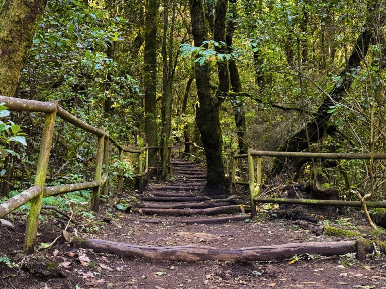
Finally, areas such as the La Meseta Trail, which leads to the so-called Piedra Encantada (Enchanted Rock), provide access to lesser-known viewpoints and geological formations that are essential for understanding the scenic diversity of the municipality. These enclaves show the natural transition between the different vegetation levels, from the monteverde to the more open areas overlooking the Atlantic.
Map of Protected Areas
Locate the natural monuments and protected areas of Vallehermoso on the following map.
Monumentos Naturales de Vallehermoso
Natural Areas Gallery
Discover the beauty of Vallehermosos protected natural areas.